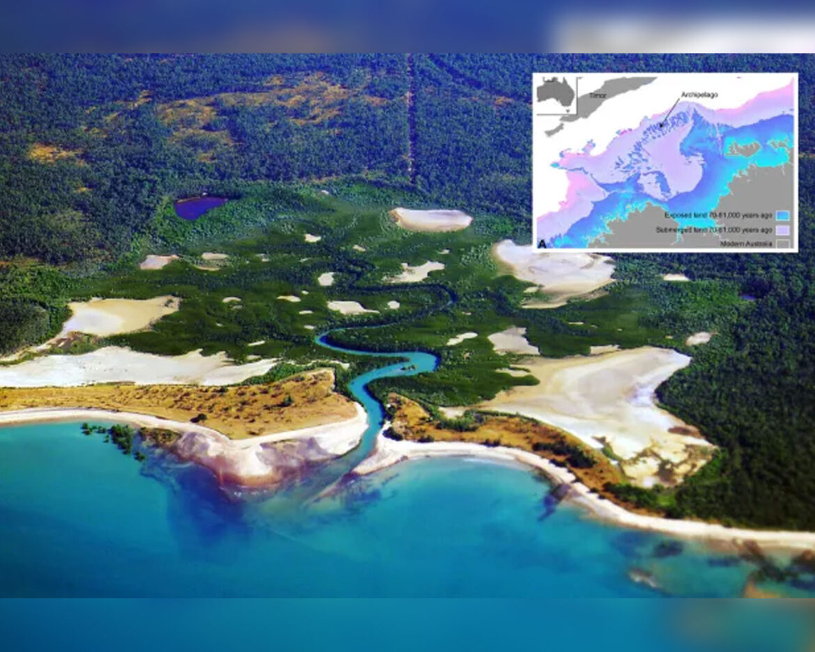
Researchers have unveiled the existence of a submerged landmass off the coast of Australia, now referred to as the “lost Atlantis.” This ancient territory, known as Sahul, was submerged over 70,000 years ago and was recently mapped using cutting-edge sonar technology.
The research, published in Quaternary Science Reviews, sheds light on a massive landscape lying approximately 330 feet below sea level. The findings challenge previous assumptions about the productivity of continental margins and suggest that these areas were indeed utilized by early civilizations.
Kasih Norman, an archaeologist at Griffith University in Queensland, Australia, and the lead author of the study, explained, “We’re talking about a landscape that’s quite submerged, over 100 meters below sea level today.” The sunken land bridge, connecting present-day Kimberley and Arnhem Land, not only included Australia but also extended to New Guinea and Tasmania.
Sahul, once a thriving landmass, is believed to have supported a population of up to half a million people. This discovery challenges the conventional belief that continental margins were unproductive and not extensively utilized by ancient societies.
“Until recently, there’s been an underlying assumption in Australia that our continental margins were probably unproductive and weren’t really used by people, despite the fact that we have evidence from many parts of the world that people were definitely out on these continental shelves in the past,” stated Norman.
The research is expected to provide valuable insights into early human migration patterns and could reshape our understanding of the development of ancient civilizations. As scientists continue to explore the secrets hidden beneath the ocean depths, the discovery of Sahul opens a new chapter in unraveling the mysteries of our planet’s submerged past.


