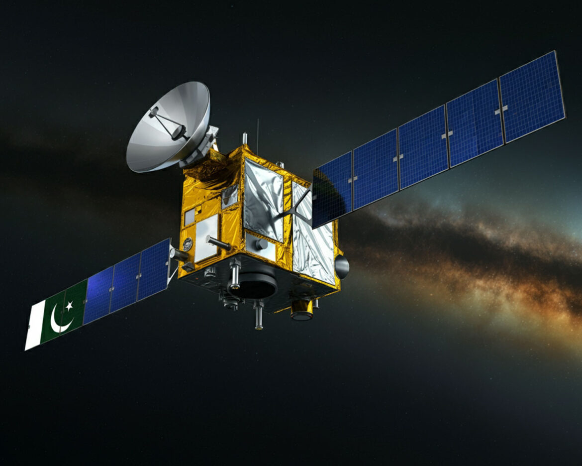
In a groundbreaking achievement for the nation’s space program, Pakistan’s first multi-mission satellite has successfully become operational, marking a significant milestone in the country’s technological and scientific capabilities.
The satellite, developed by the Space and Upper Atmosphere Research Commission (SUPARCO), was launched earlier this year with the aim of serving multiple purposes, including Earth observation, telecommunications, and enhancing national security. This advanced satellite is equipped with high-resolution imaging and data collection capabilities, supporting critical sectors such as agriculture, disaster management, climate monitoring, and defense.
Speaking at the press conference, Dr. Asim Shah, Director-General of SUPARCO, expressed immense pride in the achievement. “This satellite represents a leap forward for Pakistan’s technological advancements. It will enable us to better monitor our environment, improve connectivity in remote areas, and contribute to national security efforts,” he said.
The satellite is capable of conducting a wide array of missions, such as capturing high-definition images of the Earth’s surface, transmitting secure communication signals, and providing vital meteorological data. It is expected to significantly improve Pakistan’s telecommunications infrastructure and contribute to the nation’s sustainable development goals.
The operational status of the satellite was officially announced at a special ceremony attended by government officials, space scientists, and representatives from various sectors. The flag of Pakistan was proudly raised at SUPARCO’s headquarters, symbolizing the country’s growing presence in the global space community.


